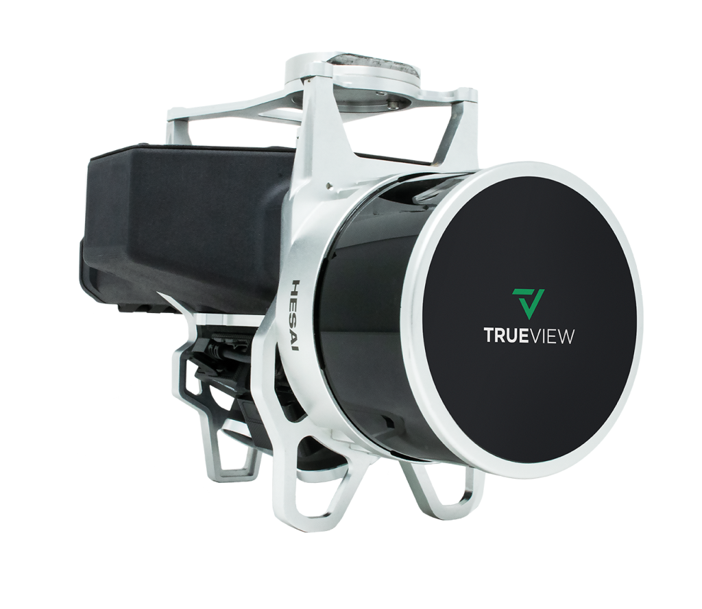
TrueView 435 is the most economical platform for utility-grade mapping. GeoCue’s TrueView 435 is our next generation compact 3D Imaging System that has sensitivity needed for infrastructure mapping. In addition, its superior ground capturing capabilities for lightly vegetated areas make this the most economical platform for utility grade-mapping.

The professional choice in geospatial data processing software, made in the U.S.A. since 2006.
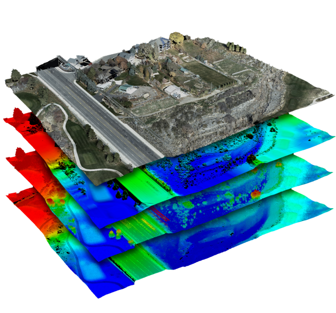
Whether it’s airborne or terrestrial collected LIDAR data, 3D point clouds have become a critical element in mapping. LP360, an advanced desktop LIDAR software package, makes easy work of extracting information and generating deliverables in an intuitive GIS environment.