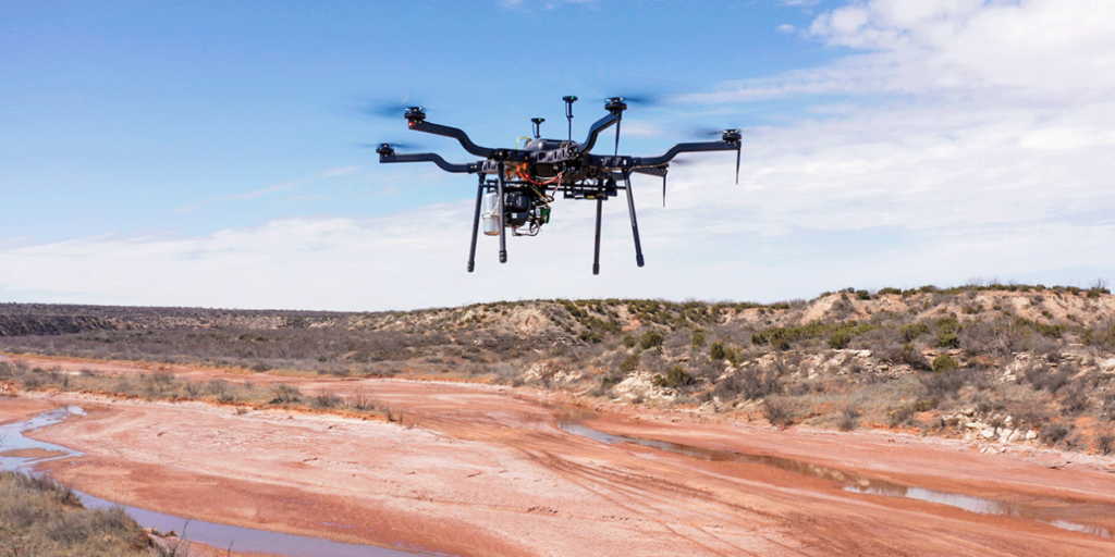
TM Surveying & Mapping, Inc. (ETM Survey), an affiliate of ETM, is eager to introduce our latest service advancement…With the help of our brand new Harris (H6-Hybrid) Drone with Riegl VUX-1 Lidar, our proprietary data processing has enabled us to provide survey grade accuracy through canopy and vegetation.
Our drone fleet’s state-of-the-art technology enables our qualified technicians to capture aerial imagery and videography with superior quality at an unparalleled pace, and the ability to:
- Capture LiDAR imagery to generate precise, three-dimensional information about an area
- Gather imagery of large sites through Orthomosaics
- Conduct Land Surveying
- Take high-accuracy ground shots
- Have extended flight times through the devices’ gas/electric hybrid power
- Turnaround conventional topographic surveys six times faster than industry average
While we’ve offered many of these Aerial Solutions for an extended period, our custom Harris H6-Hybrid Drone truly takes our services to new heights — 400 feet to be exact.
About Harris Aerial
Harris Aerial is a drone manufacturer that specializes in custom Unmanned Aerial Systems (UAS) which can be adapted for aerial lidar scanning, aerial photography, heavy lift payloads, agriculture, search and rescue, and much more.
These unmanned aerial vehicles can carry a multitude of payloads for numerous surveying and land planning applications, including professional cinematography and aerial photography, geospatial surveying, thermal and hyperspectral imaging, emissions sensing, and more.
About ETM Survey
Trusted since 1924, ETM Surveying & Mapping, Inc. has emerged as a leader in the land surveying industry. Our licensed and highly trained land surveyors specialize in the most advanced techniques and technologies. We provide a multitude of services including ALTA/NSPS Land Title Surveys, Topographic Surveys, Subsurface Utility Location/Investigation, and High-Definition 3D Scanning services.


