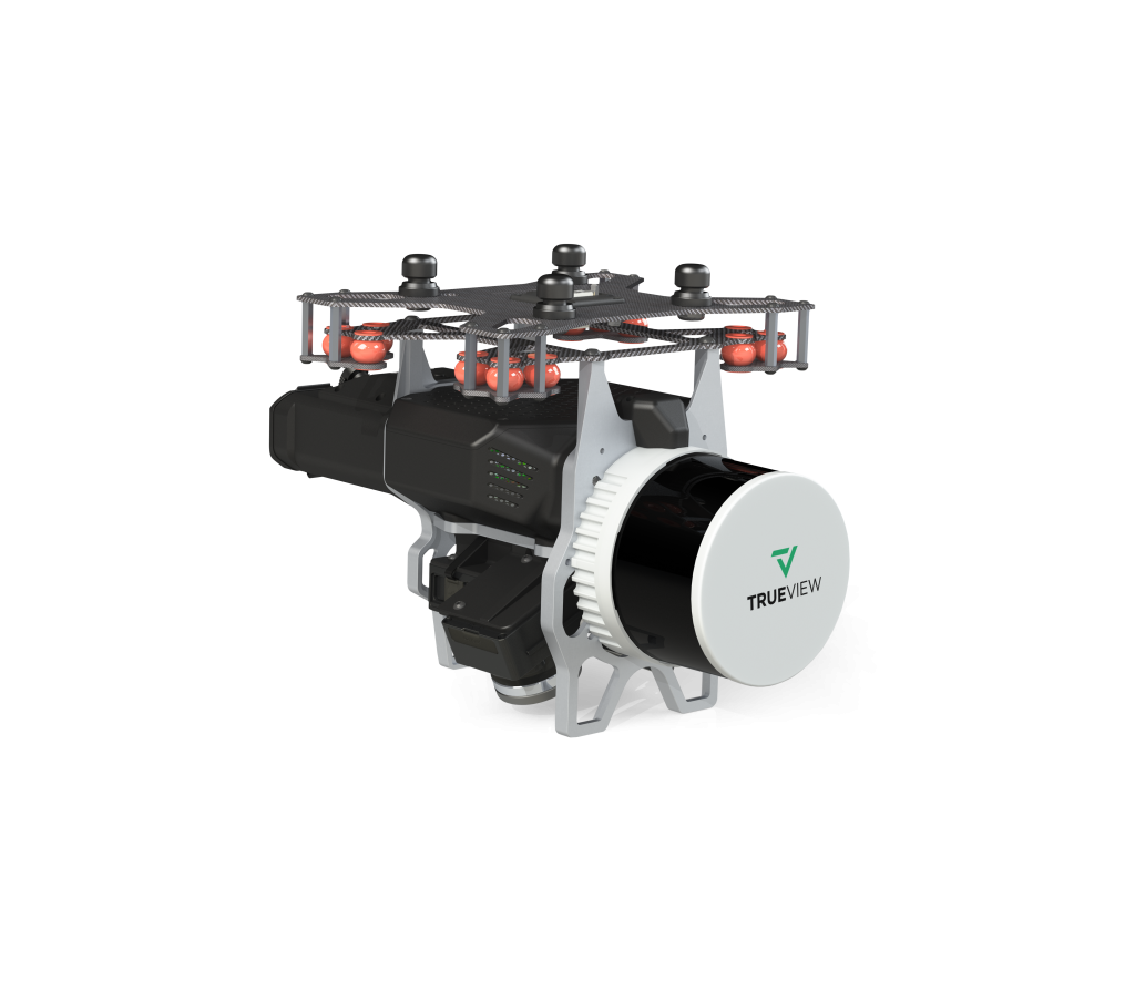
The TrueView 535 builds upon the success of our best-selling TrueView 515. We’ve added a third LiDAR beam return to improve vegetation capture detail, a third nadir camera to improve photogrammetry deliverables, and a longer usable LiDAR range to increase flexibility.

The professional choice in geospatial data processing software, made in the U.S.A. since 2006.
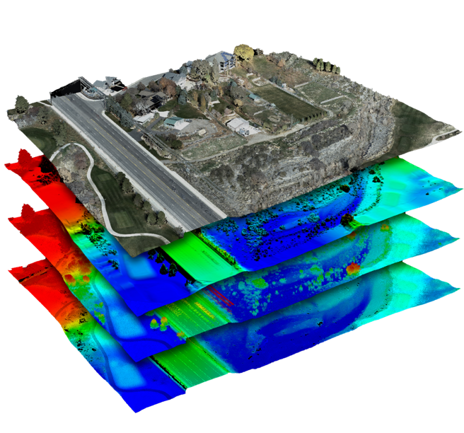
Whether it’s airborne or terrestrial collected LIDAR data, 3D point clouds have become a critical element in mapping. LP360, an advanced desktop LIDAR software package, makes easy work of extracting information and generating deliverables in an intuitive GIS environment.
Includes Strip Align, Photo, 3D Accuracy Add Ons