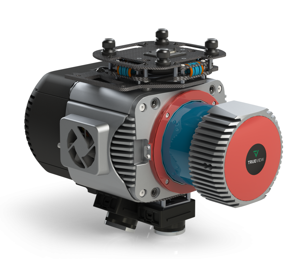
The TrueView 680/680LR is GeoCue’s best 360 degree field of view system, built with the Riegl VUX-1UAV and the 680LR integrates a Riegl VUX-1LR. Select the system that best suits your projects and trust that you will achieve incredible performance in terms of accuracy and point density.
All 600-series payloads are NDAA-compliant.

The professional choice in geospatial data processing software, made in the U.S.A. since 2006.
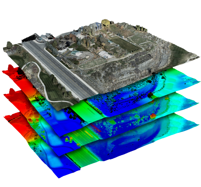
Whether it’s airborne or terrestrial collected LIDAR data, 3D point clouds have become a critical element in mapping. LP360, an advanced desktop LIDAR software package, makes easy work of extracting information and generating deliverables in an intuitive GIS environment.
Includes Strip Align and Photo Add Ons