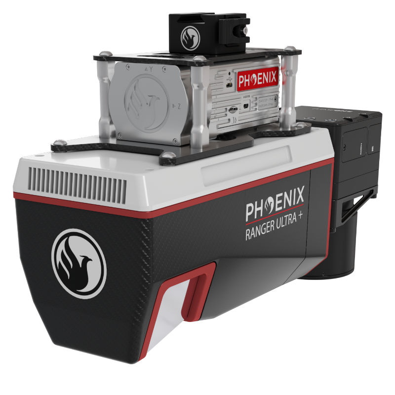
The RANGER-ULTRA+ adds rangev and density capabilities to an already unrivaled mapping system. It’s unique forward and rear looking field of view was designed to minimize laser shadowing and provide a high level of detail on vertical surfaces. Pulse rates up to 2.4 MHz and the ability to be carried by a variety of aircraft make this a highly versatile system that is suitable for mapping at various scales in order to meet your unique project objectives. The RANGER-ULTRA+ is ideal for corridor mapping applications such as utility, rail and pipeline inspection.
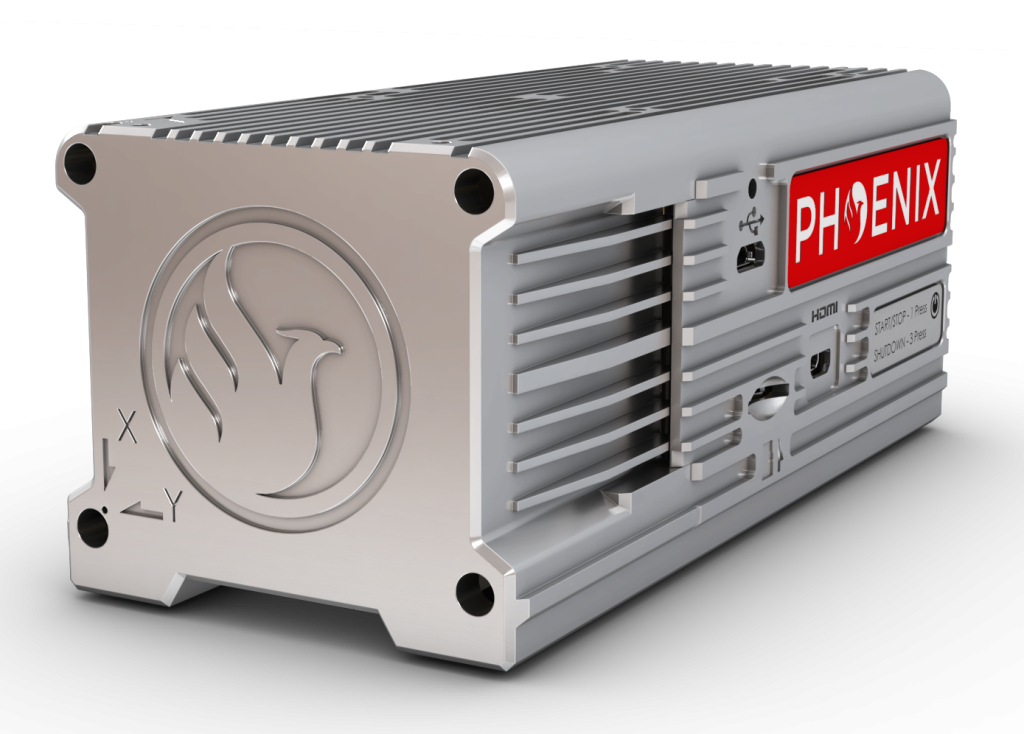
The NEW RANGER ULTRA includes Phoenix LiDAR System’s AIR NavBox. The newest generation, ultra-lightweight (450) rover will help
meet the rigorous demands of various industries and applications by greatly increasing flexibility in two key areas: reducing weight for longer flight times on unmanned vehicles; and higher range with the highest resolution cameras on the market.
The new Phoenix LiDAR AIR NavBox offers the most industry-altering capabilities in a tiny box not much bigger than a standard-size computer mouse.

58.5 x 123 x 48.1mm
450g
CONSTELLATION SUPPORT:
GPS + GLONASS + BEIDOU + GALILEO
SUPPORTED ALIGNMENT:
Kinematic, Dual-Antenna
OPERATION MODES:
Real-time, Post-Processed
ACCURACY POSITION:
1 cm + 1 ppm GNSS baseline RMS Horizontal
ACCURACY ATTITUDE(5):
Roll, Pitch: 0.002° RMS
Heading: 0.007° RMS
DIMENSIONS:
27.5 x 11.7 x 22.2 cm
OPERATING VOLTAGE:
12-28 V DC
POWER CONSUMPTION:
75W typical
OPERATING TEMPERATURE:
0° – 40° C / 32° – 104° F
WEIGHT:
3.4 kg / 7.5 lbs

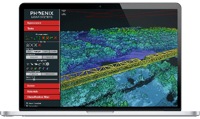
Phoenix LiDAR Systems provides a proprietary complete software suite for streamlined acquisition, geo-referencing, data fusion, export and post-processing in the cloud.